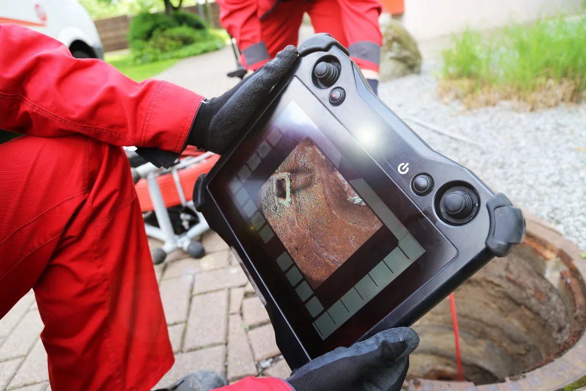
Trenchless Installation Planning
Horizontal Directional Drilling in Boca Raton
Plan an underground installation with better information about existing subsurface conditions. Get a Free Estimate
Trenchless Installation Planning
Plan an underground installation with better information about existing subsurface conditions. Get a Free Estimate
Horizontal directional drilling, or HDD, is a trenchless construction method used to install underground pipes, conduits, and other services along a planned route. Instead of opening a continuous trench, an HDD crew guides a drill along a designed path and installs the intended product through the prepared bore. This approach can help limit surface disruption in suitable conditions, particularly around paved areas, landscaped properties, driveways, and developed commercial sites.
Successful HDD planning depends on more than the drilling equipment. Existing utilities, soil and ground conditions, entry and exit locations, route geometry, required clearances, and project constraints all affect the proposed installation. GPR scanning and utility locating can help investigate potential conflicts, but they do not replace engineering, geotechnical assessment, required utility notifications, or physical verification. The specific services available for a project should be confirmed before the scope is finalized.
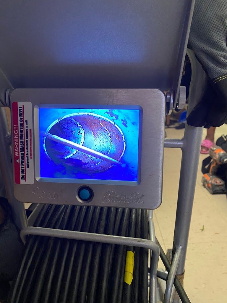
Our service categories can support early investigation and coordination for planned trenchless work. Drilling design, construction, permits, and other specialized responsibilities should be assigned to appropriately qualified parties.
Investigate suitable portions of a proposed drilling corridor for potential buried utilities and other detectable subsurface features that may affect route planning.
Consider available utility records, locating results, proposed clearances, and additional verification requirements before the drilling route is finalized.
Investigate selected launch, receiving, and staging areas for potential subsurface conflicts that could affect access or construction activities.
Provide relevant scanning and locating information for discussion among drilling contractors, utility owners, engineers, and other project representatives.
| Service | Estimated Cost | Average |
|---|---|---|
| HDD route investigation | Quote required | Depends on route and coverage |
| Entry and exit area investigation | Quote required | Depends on access and targets |
| Utility conflict assessment | Quote required | Depends on complexity |
| Larger trenchless project support | Quote required | Depends on agreed scope |
These categories refer to investigation and planning support, not a quotation for complete drilling construction. Actual HDD installation costs depend on route length, ground conditions, pipe specifications, equipment, permits, restoration, and contractor scope.
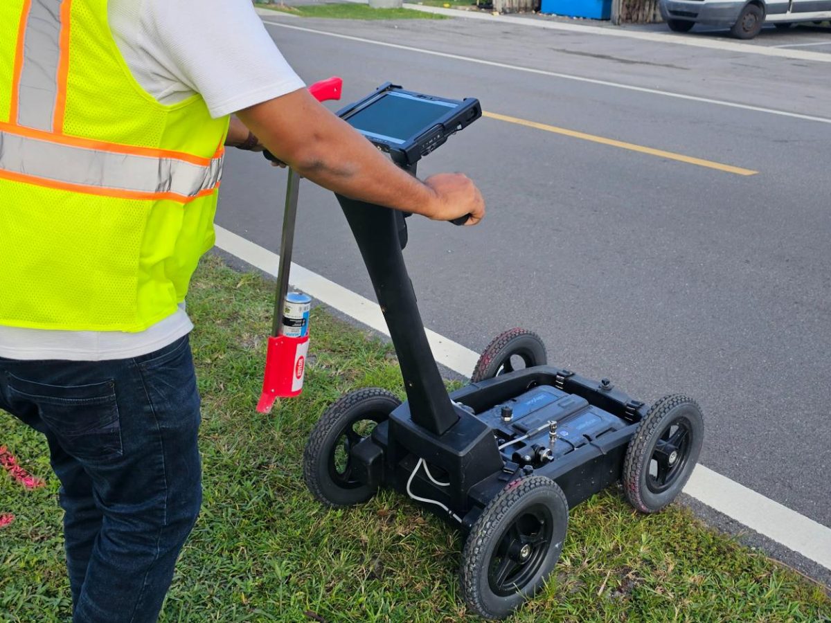
Investigating the planned corridor and relevant work areas can help the team identify potential utility conflicts before construction.
Subsurface information is most useful when considered with drilling plans, engineering requirements, utility records, and appropriate field verification.
Scanning and locating provide information for planning; they do not independently guarantee a clear route or replace the drilling contractor's and engineer's responsibilities.
Planning trenchless utility installation in Boca Raton or nearby communities? Request a review of your proposed route and subsurface investigation needs.
Free — no obligations
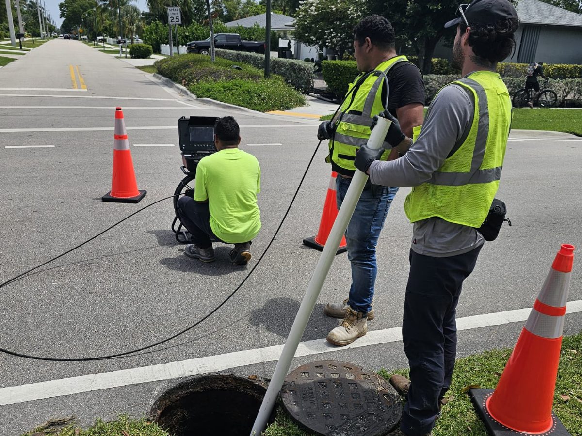
Provide the route, approximate length, product to be installed, entry and exit locations, and available drawings.
Review known utilities, potential crossings, access limitations, and areas where scanning or additional verification may be useful.
Complete the agreed scanning or locating scope, subject to site access and the capabilities of the selected methods.
Review potential conflicts and identify outstanding verification needs before the responsible parties finalize construction decisions.