Ground Penetrating Radar
GPR Utility Scanning in Boca Raton
Investigate subsurface conditions before breaking ground. Discuss your site and scanning requirements. Get a Free Estimate
Ground Penetrating Radar
Investigate subsurface conditions before breaking ground. Discuss your site and scanning requirements. Get a Free Estimate
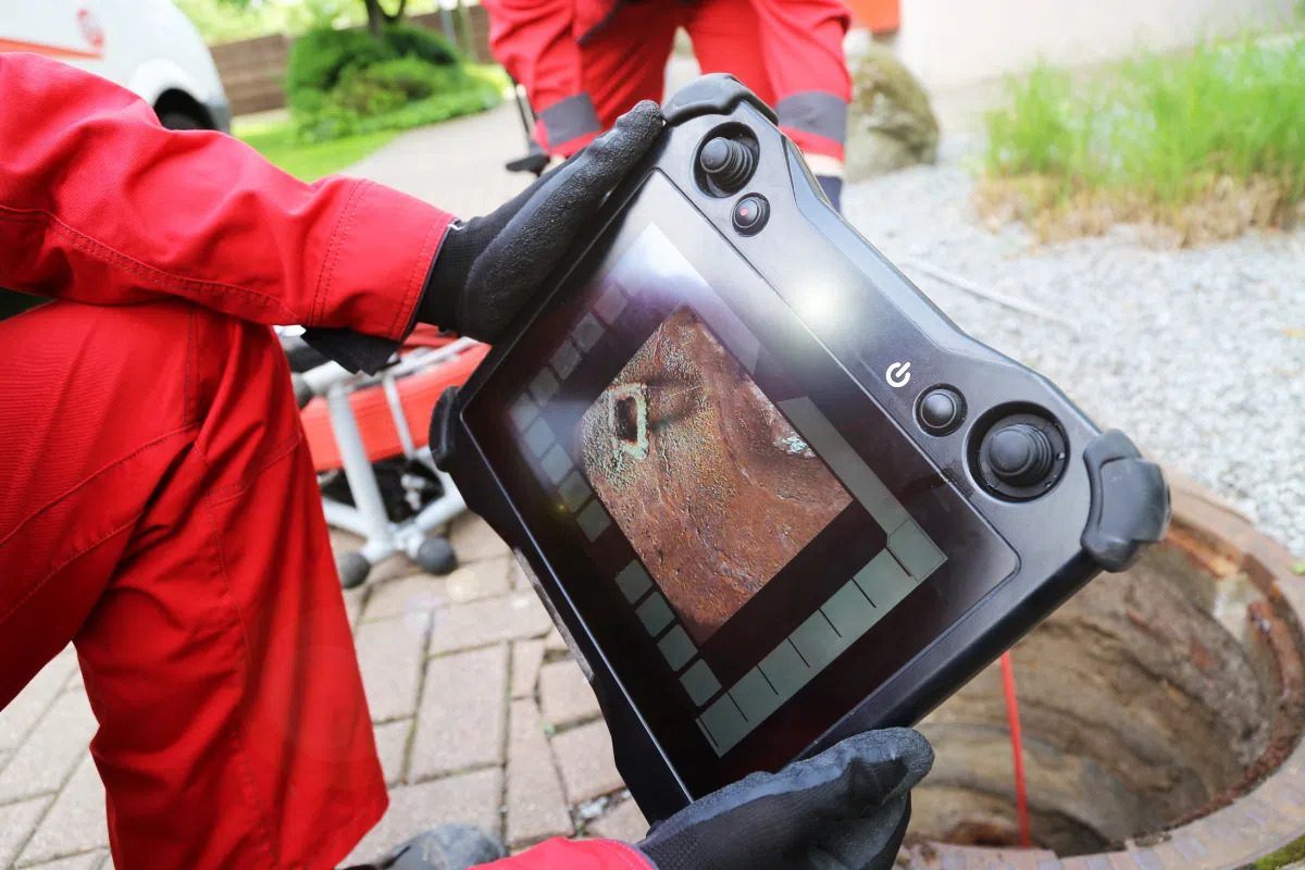
GPR utility scanning in Boca Raton helps construction teams, property owners, and contractors investigate what may be hidden below the ground surface. Ground penetrating radar sends electromagnetic signals into a material and measures returning responses that can indicate changes or potential subsurface features. Depending on the site and target, this information may help identify buried utilities, abandoned lines, or other features relevant to planned excavation and construction.
Scanning is useful when existing utility records are incomplete, when a proposed excavation approaches existing infrastructure, or when a project requires more information before work begins. Results are influenced by soil composition, moisture, target depth, utility materials, congestion, and other conditions. GPR does not guarantee detection of every buried object, and it should not replace required utility notifications, records reviews, or established utility verification procedures.
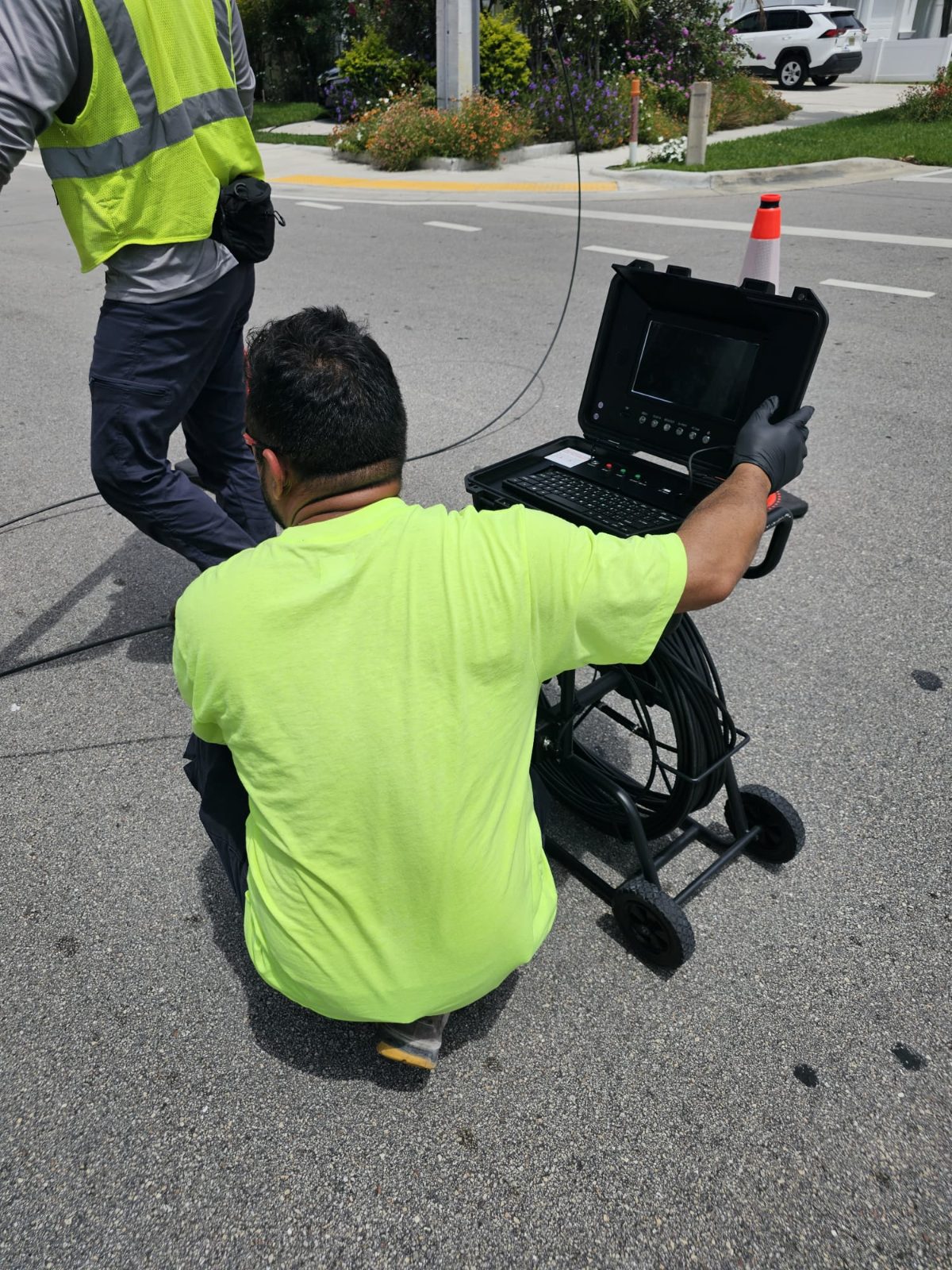
The best scanning approach depends on the planned work, the suspected target, and the conditions at the property. We focus on gathering relevant project information and matching the investigation to the question that needs to be answered.
Investigate a proposed trench, foundation, drainage route, or excavation area for potential subsurface conflicts. Results can help your team identify locations that need additional investigation before digging.
Evaluate selected areas around buildings, parking lots, landscaped spaces, and other developed properties. Existing infrastructure and surface conditions can influence which scanning methods are suitable.
Investigate a proposed underground utility route and look for potential conflicts with existing infrastructure. Combine scanning findings with available utility records, site plans, and verification activities.
Provide subsurface information that can be considered during project planning, site preparation, and coordination between excavation crews, utility contractors, engineers, and property representatives.
| Service | Estimated Cost | Average |
|---|---|---|
| Small, targeted scanning area | Quote required | Depends on scope |
| Residential property investigation | Quote required | Depends on access and targets |
| Commercial site scanning | Quote required | Depends on site size |
| Complex or multi-area investigation | Quote required | Depends on project requirements |
These are service categories, not published prices or verified market averages. A project-specific estimate requires the site location, approximate area, suspected targets, accessibility, requested documentation, and timing.
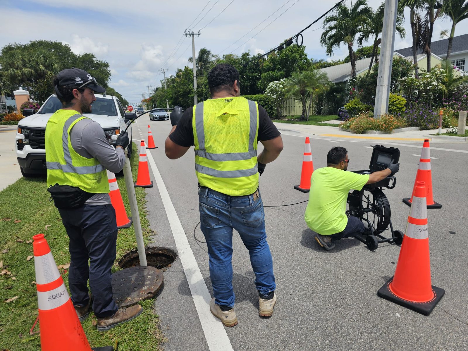
We consider what you need to investigate and what work is planned afterward before discussing an appropriate scanning scope.
Surface materials, soil conditions, moisture, target depth, and surrounding infrastructure can affect results. These factors should be considered when interpreting findings.
Scanning is intended to support informed planning. Findings and limitations should be communicated so the project team can determine appropriate next steps.
Planning an excavation or underground installation in Boca Raton? Share your project requirements to discuss GPR scanning and an appropriate estimate.
Free — no obligations
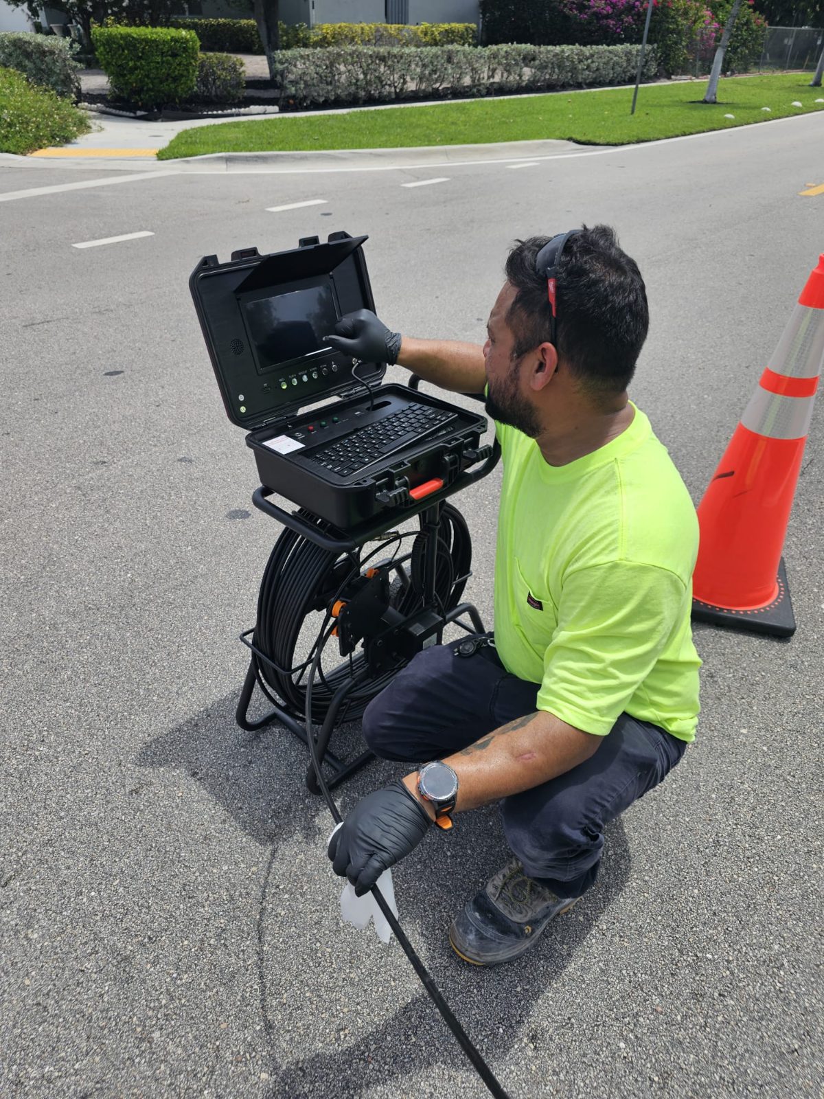
Share the site location, planned excavation or construction, approximate dimensions, suspected utilities, and any available drawings or previous survey information.
Consider site access, target characteristics, surface conditions, project timing, and whether GPR is an appropriate investigation method.
The scanning scope is carried out in the agreed areas using an appropriate method, subject to access and site conditions.
Discuss the available results and any areas that require additional verification. Confirm how the information will be documented and delivered before work begins.